
 SIMPLE: SIstema Multicriterio para PLanificación Espacial - Multi-criteria System for Spatial Planning
Why do we need this tool?
When analyzing landscapes and making decisions on which actions should be performed in the lanscape for a certain objectie (e.g. reduction of wildfire risk, restoration objecties etc...), we should be able to prioritize the actions according to their impact on the expected objectives and considering their efficiency and costs.
Free description
The SIMPLE system is based on the Multi Atribute Utility Theory a decision-making framework that can be used to prioritize areas based on multiple criteria.
The first step to use the sytem (once registered) is to upload the map of the study area and the layers of information needed for the análisis, each layer corresponding to a variable/criteria. The system works either with Shapefiles or Gjason files.
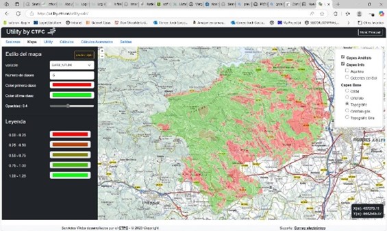
Once uploaded the shapefiles a quick visualitation of the data can be done in forms of maps and/or histograms.
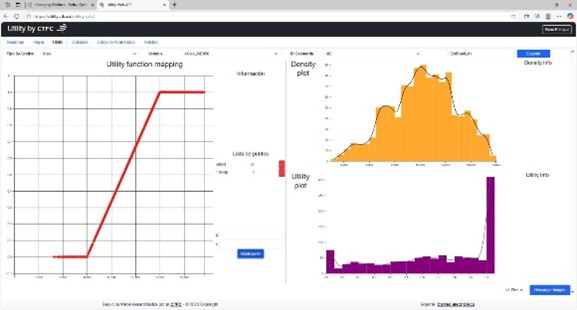
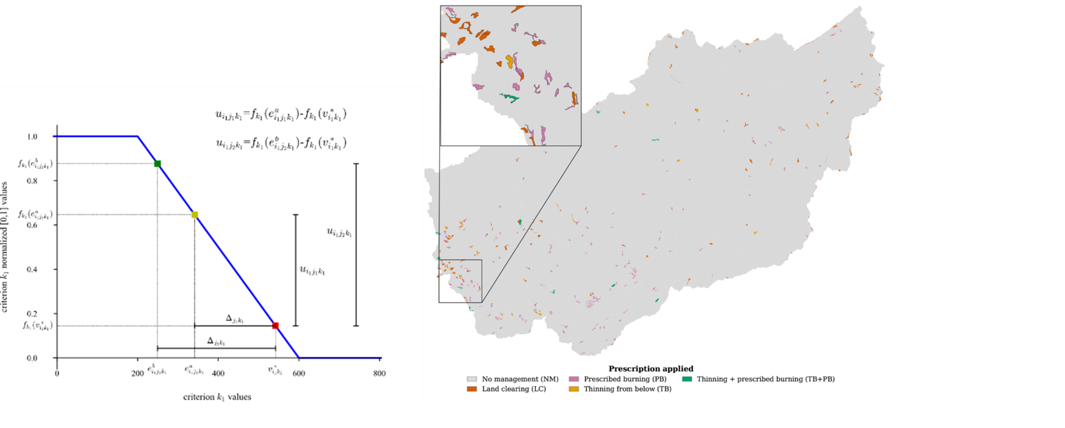
Since each variable has different units, the next step is to normalize their values. The system allows their normalization by using utility functions transforming their values into a 0 to 1 scale. The conversion to a 0 – 1 scale will depend on the problema analyzed and the utility function may be developped in a participatory manner.
What does this tool?
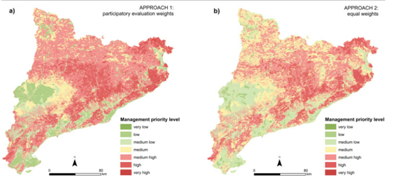
The tool converts indicators into standardised utility scores, combines them using weighted criteria and logical decision models, and generates spatial maps showing management priorities. Stakeholders can participate in defining criteria, weights and priorities, making the planning process transparent and participatory.
SIMPLE can support applications such as wildfire prevention, ecosystem service management, biodiversity conservation and ecological restoration.
For example, it has been applied to prioritise forest management areas for preventing large wildfires using 22 indicators grouped into five criteria: fuel hazard, fire behaviour, exposure, accessibility and landscape continuity
An optimisation module has been also developed to move beyond identifying priority areas towards selecting the most suitable management actions and their locations, considering expected impacts, available budgets and other constraints. This will help translate spatial priorities into cost-effective landscape management plans.
Demo/Presentation:
Authors: Jose Ramón González, Jordi Garcia-Gonzalo, Felipe Ulloa, Albert Sanhauja.
Contact: jr.gonzalez@ctfc.cat; j.garcia@ctfc.cat
Dissemination page:
Development page:
Tutorials or publications:
Ulloa-Fierro, F., Carrasco-Barra, J., Álvarez-Miranda, E. et al. A MAUT-MIP Framework for Spatial Multi-Criteria Management Planning: A Forestry Fuel Management Case Study. Environ Model Assess (2026). https://doi.org/10.1007/s10666-026-10153-2